Live aviation weather
Your airports, lit by the real weather.
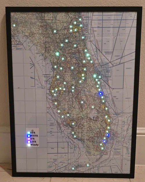
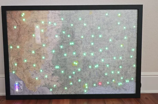
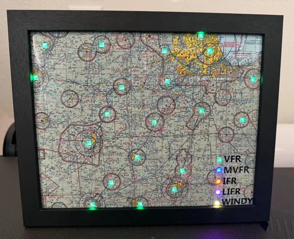
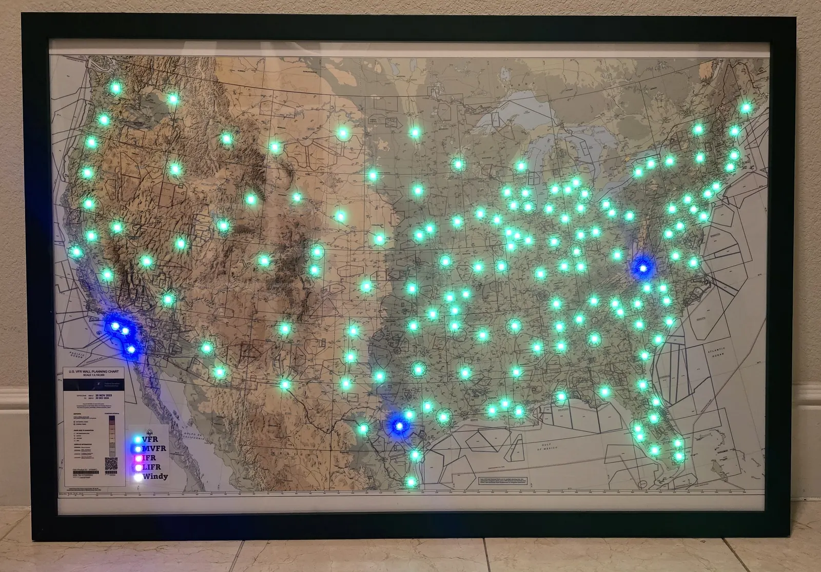
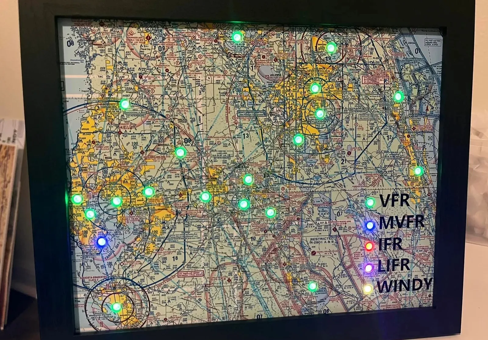
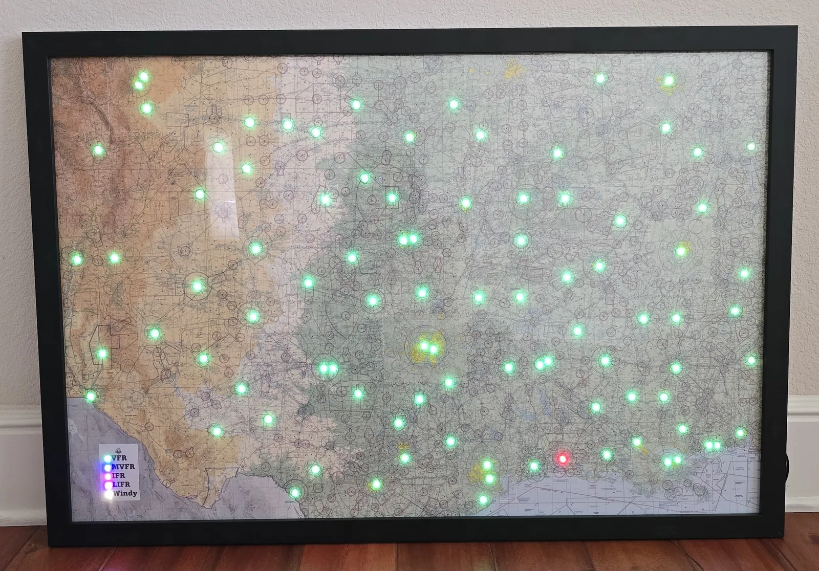
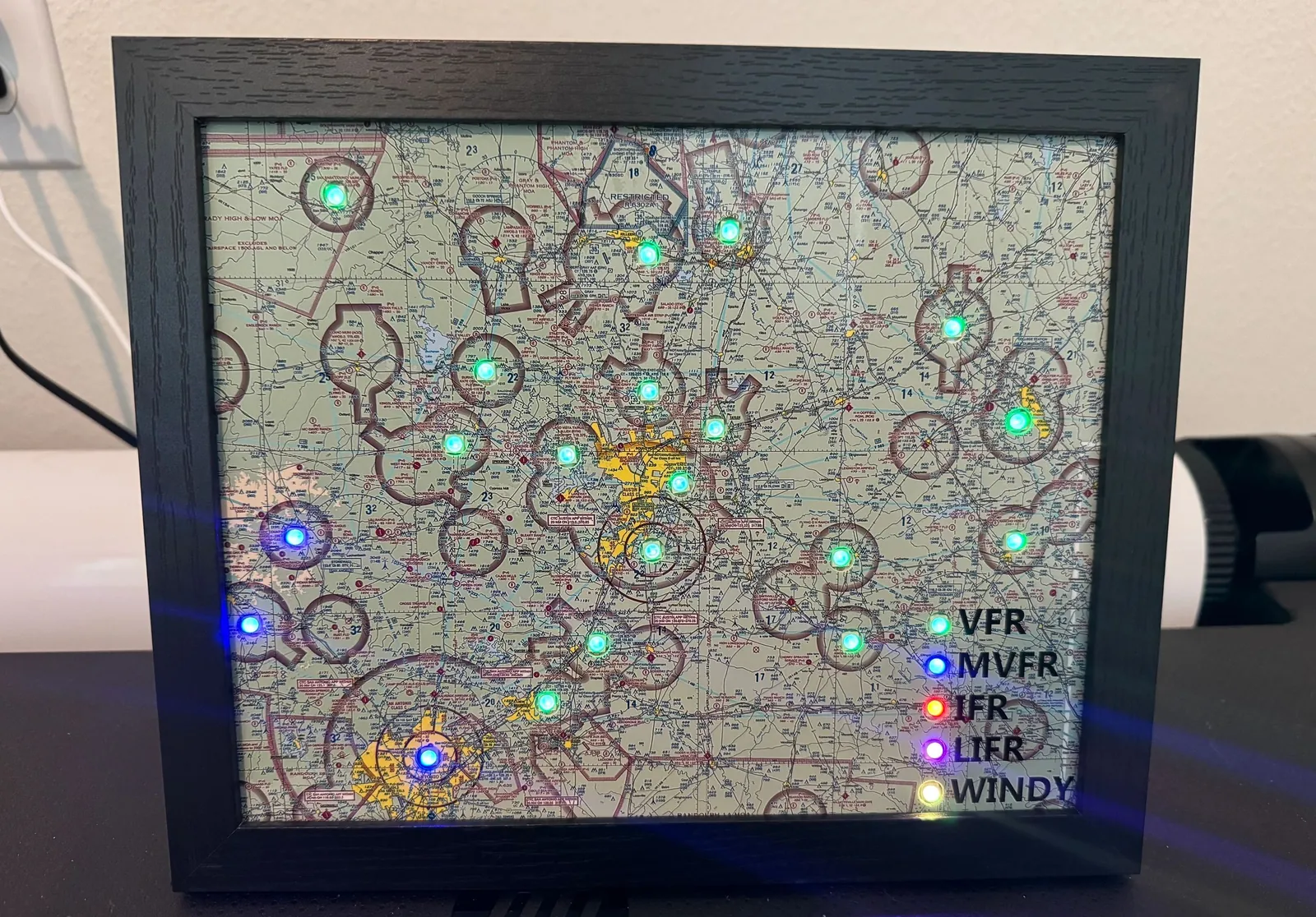
A DIY METAR map puts a light behind each airport on a sectional chart and colors it by the current conditions, updated on its own over WiFi.
Build it yourself, or have it built for you.
Choose your starting point
Four ways to build
Basic DIY kit
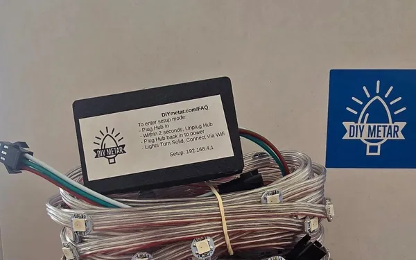
The hub and the lights. You bring the map and the frame.
From $65Start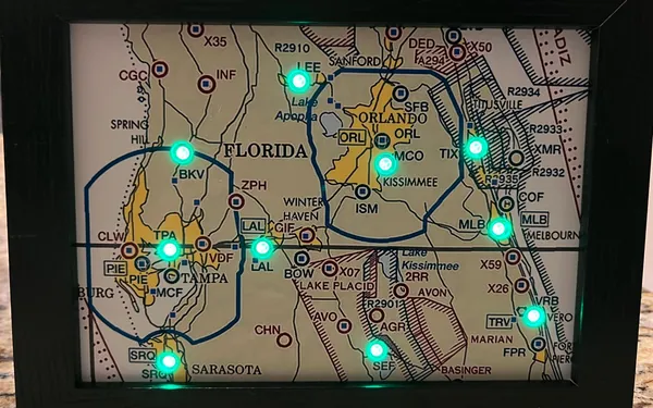
Kit with a custom map
Your area printed as a sectional, in a frame. Build it yourself or have it assembled.
From $120Start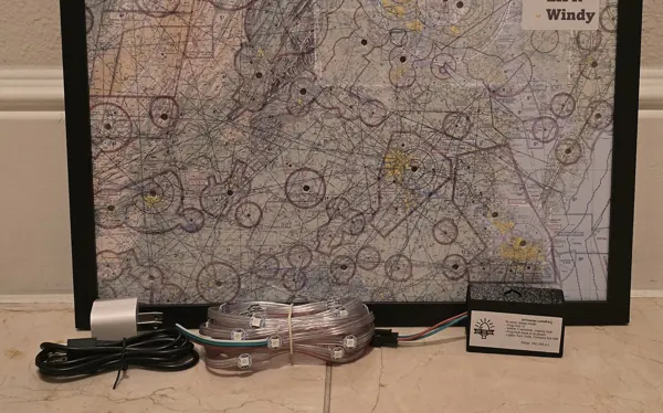
Parts and accessories
A spare or upgraded hub, or more lights for a map you already have.
From $30Start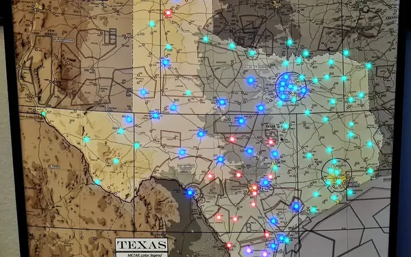
Custom build
Bigger than 24x36, a state outline, another country, a display for your FBO. Tell us what you want and we will quote it.
By quoteAsk usWhat the lights tell you
More than four colors
Flight category at a glance
Green, blue, red or magenta for VFR, MVFR, IFR and LIFR at every airport on your map.
Windy airports pulse yellow
You set the wind or gust speed that counts as windy.
Lightning strikes
A flickering lightning animation when a report includes thunderstorms or lightning.
Icing breathes blue
When a report includes freezing precipitation.
Dims after sunset
Each airport dims at its own local sunset.
Sleep timer
Dark overnight, and the weather keeps updating while it sleeps.
From the hangar wall
What pilots say
The kit was very straight-forward and easy to use. When I had questions, DIY Metar was there to help with quick response times. I ended up with 240 lights on this kit and made another for a friend with 150 lights. Will absolutely buy from them next time I want to do one of these projects or when I want to give one as a gift. Would recommend to anyone, including beginners.
I love my DIY Metar Map! It's not just a stunning piece of wall art, but a real-time weather display that adds both beauty and functionality to my office. The lights synchronized to the weather create a mesmerizing visual experience each day. My 4x3FT, 200-light Metar Map is continually a conversation starter for guests. The assembly was straightforward, thanks to clear instructions, and the end result exceeded my expectations.
How do I instantly know that we have sketchy flying weather around CLT today? DIY METAR provides a solid product, clear instructions and guidance on how to 'do it yourself'. They are super-responsive to any questions and are clearly passionate about maintaining delighted customers. If you are a pilot or have interest in general aviation, then you need a METAR map in your office, den or living room. Highly recommend. You won't be disappointed.
I found out about METAR maps on Reddit, and it was such a blast to build and customize. It’s been a great gift for other pilots and the best conversation starter for guests visiting. The team has done a perfect job giving you control over settings while making the process easy and fun. Highly recommend buying!
My map covers the "Great Valley" in east Tennessee spanning from Knoxville to the Tri-Cities area which is where I learned to fly. I placed the finished map on my nightstand so that I get a quick glance of surrounding weather when I start my day! Much easier than looking up the weather on my phone which ultimately ends up being a distraction and slowing me down!
DIY Metar made making a build from scratch Metar map hassle free with no previous experience. Ordered a 200 light kit and followed some helpful build tips and videos on their website. The FAQ page also helped along the way. When I plugged my map in to program, I had a few problems. Their tech support was amazing. They responded almost immediately and had me up and running in no time.
Great Project and good price.
Read a full build on AeroSavvy.